 vesseltracker.com
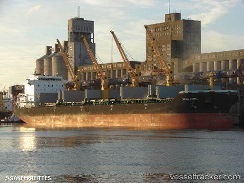
Vessel '636020261' IMO: 9477696, MMSI: 636020261
UTC, 36.91633, 146.26950, course: 76, speed: 11.5
UTC, 36.91017, 146.71750, course: 74, speed: 13.1
2026-01-31 10:02:40 UTC, 36.91933, 147.16232, course: 79, speed: 10.6
Live AIS position:
UTC. 192 nm E of Santa Venera),
updated 2026-01-31 10:02:40 UTC.
Find the position of the vessel '636020261' on the map. The latter are known coordinates and path.
marine traffic ship tracker show on live map
The current position of vessel '636020261' is 36.91933 lat / 147.16232 lng. Updated: 2026-01-31 10:02:40 UTCDetails:
Last coordinates of the vessel:
UTC, 36.89717, 145.67833, course: 86, speed: 12.4UTC, 36.91633, 146.26950, course: 76, speed: 11.5
UTC, 36.91017, 146.71750, course: 74, speed: 13.1
2026-01-31 10:02:40 UTC, 36.91933, 147.16232, course: 79, speed: 10.6